Tech Story #14 · Golden Age G7: al-Biruni measured the Earth from a mountain
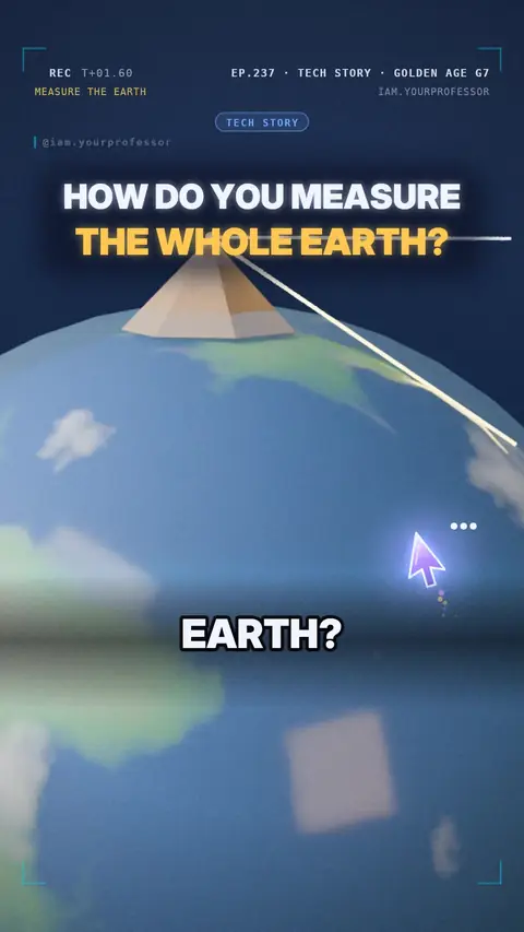
About the 1020s, al-Biruni measured the Earth's size with angles from a mountain top, within about 1 % of today's 6,371 km radius — the maths behind maps and GPS.
How do you measure the whole Earth… from one mountain? 🌍⛰️
📜 Meet al-Biruni (973 – about 1050): born in Khwarezm (today Uzbekistan), worked in Ghazni.
📐 Step 1: he found how tall a hill was by sighting its top from two spots on the plain.
🔭 Step 2: from the top he measured how far the horizon DIPS below the level line — only about half a degree!
🧮 Height + that tiny angle + some trigonometry = the size of the Earth.
🤔 How close did he get?
✅ About 6,340 km for Earth's radius. Today: 6,371 km. Within about 1 %!
🛰️ Maps and GPS still need Earth's size today.
Read the voiceover (transcript)
- How do you measure the whole Earth?
- Al-Biruni did it, about a thousand years ago!
- First, he worked out how tall a mountain was.
- Then, from the top, he measured how much the horizon dips.
- How close did he get?
- Within one percent of today's value!
- Maps and GPS still need that number.
- Next: the woman who built star computers. Follow for more!
Related lessons
 EP.221 · Tech StoryTech Story #12 · Golden Age G5: al-Jazari — the robots of 1206
 EP.213 · Tech StoryTech Story #11 · Golden Age G4: the Banu Musa brothers — a music machine you could program
 EP.205 · Tech StoryTech Story #10 · Golden Age G3: Ibn al-Haytham — light, the eye and the camera
 EP.197 · Tech StoryTech Story #9 · Golden Age G2: the digits on your screen — India → Baghdad → Europe
Get new lessons + early access to the full course
One email when new lessons drop. No spam, unsubscribe any time.
✓ You're on the list! We'll email you when new lessons drop.
By joining you agree to the privacy policy.